
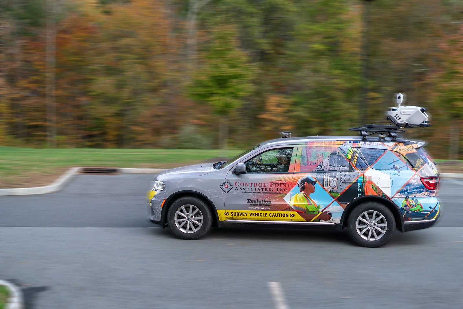
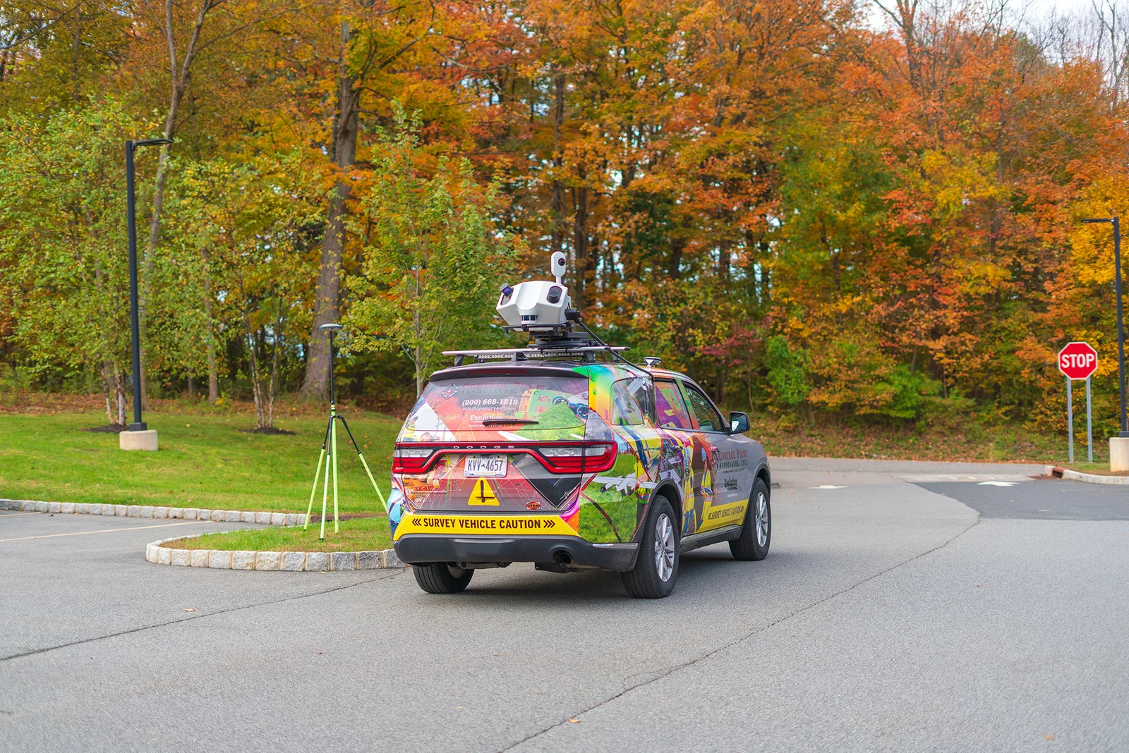
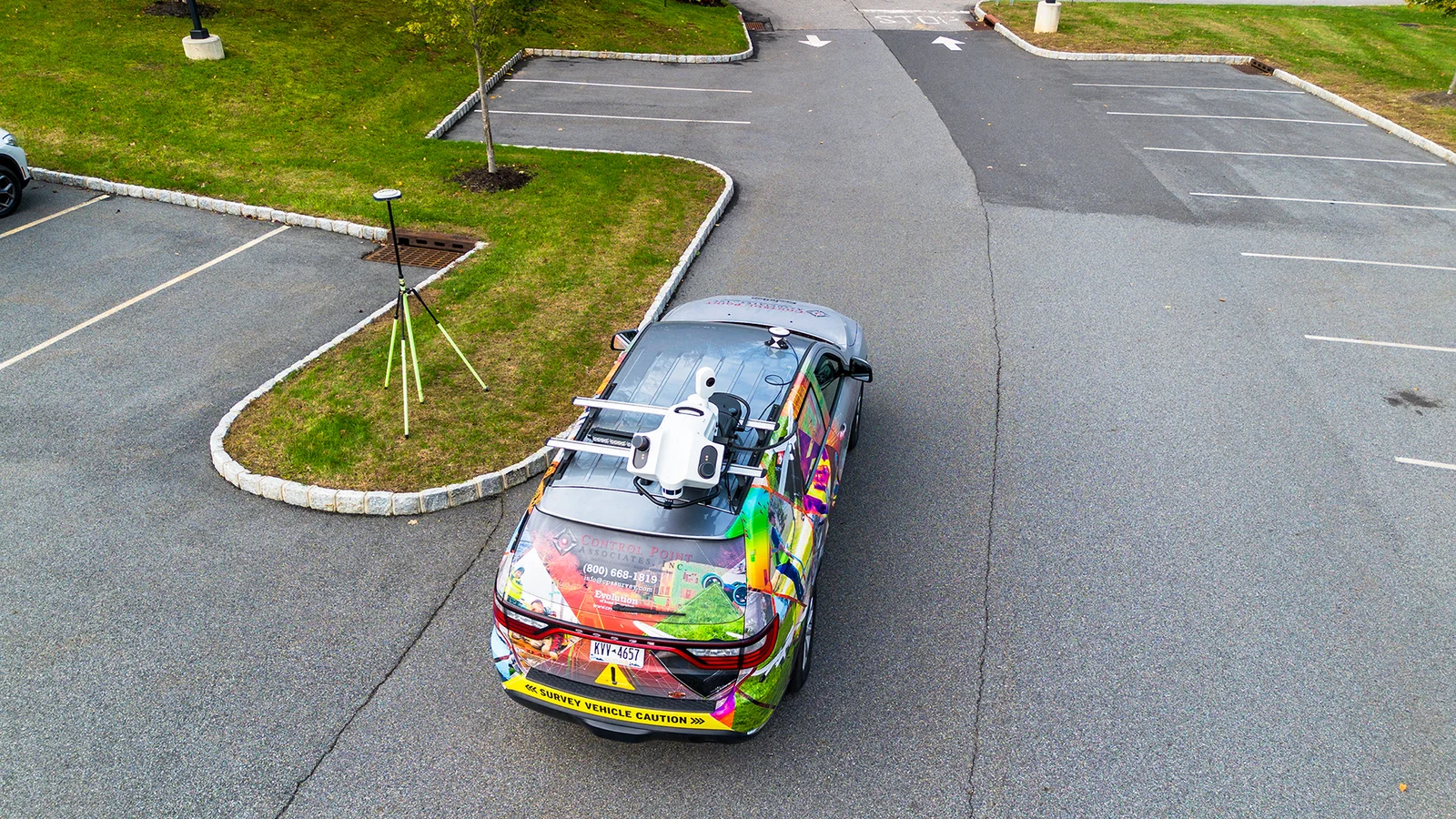
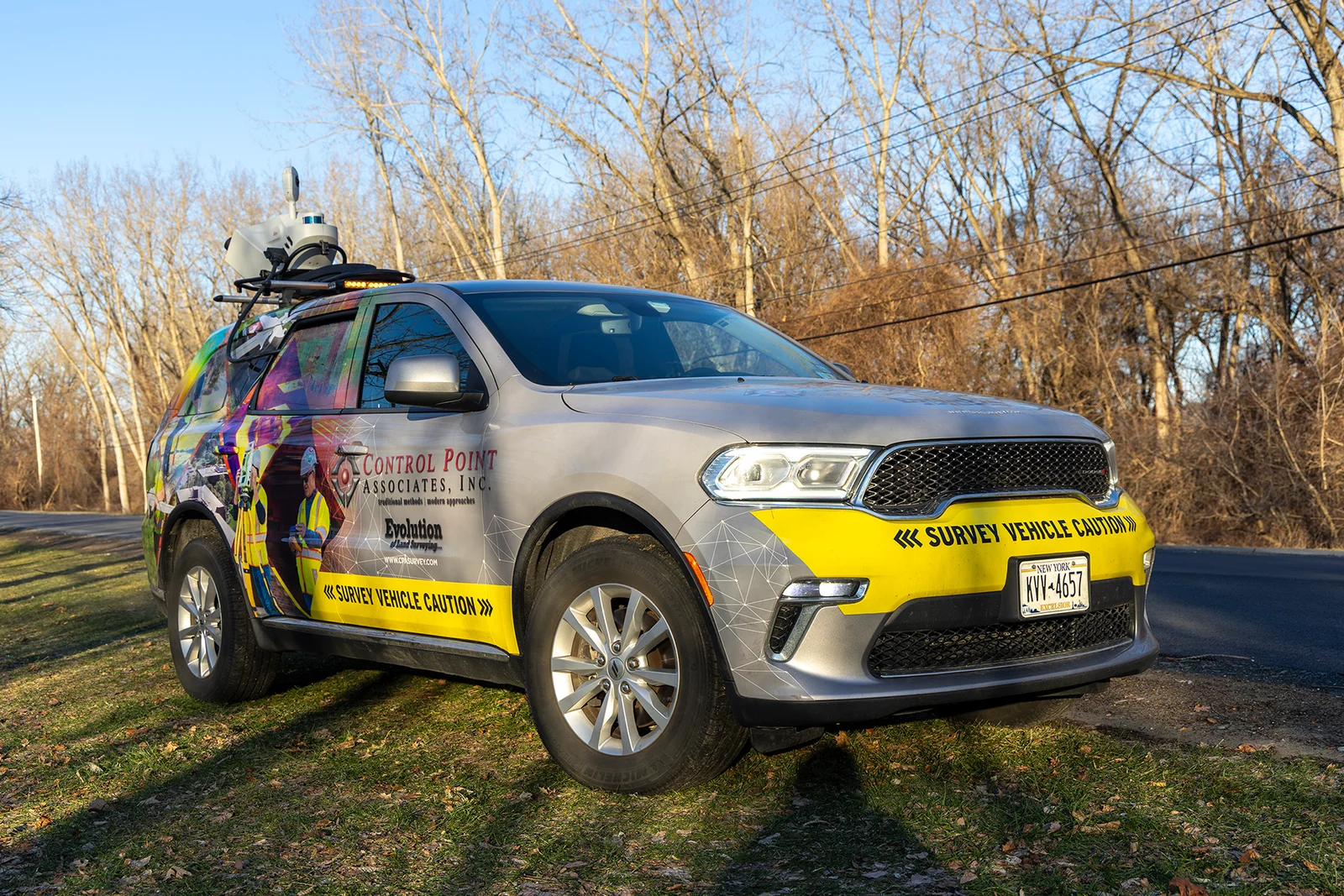
We offer a safe, fast, and accurate way to scan streets, bridges and buildings while traveling down the road.
Making Your Safety Planning Considerably Easier
Much Safer Work Environment
Reduced traffic control constraints
Fast and accurate one pass data collection
Top of the line tool that is 10x more accurate
Continue exploring
Our capabilities
3D Laser Scanning
Most 3D laser scanning projects have a shorter field schedule than traditional methods. The scanning can take a few hours to a few days, depending on the size of the site, compared to…
Explore
Our capabilities
Aerial Photogrammetry
The use of aerial photography and remote sensing technologies, coupled with ground control, produce topographic maps and orthophotographs detailing current conditions of a given area.…
Explore
Our capabilities
Construction Stakeout
Control Point Associates, Inc. provides building monitoring services for new construction and major renovation projects. Our survey crews can monitor movement, deformation and erosion…
Explore