
Our capabilities
3D Laser Scanning
Most 3D laser scanning projects have a shorter field schedule than traditional methods. The scanning can take a few hours to a few days, depending on the size of the site, compared to…
Explore
Our capabilities
Aerial Photogrammetry
The use of aerial photography and remote sensing technologies, coupled with ground control, produce topographic maps and orthophotographs detailing current conditions of a given area.…
Explore
Our capabilities
Construction Stakeout
Control Point Associates, Inc. provides building monitoring services for new construction and major renovation projects. Our survey crews can monitor movement, deformation and erosion…
ExploreOur capabilities
GIS Services
Control Point Associates, Inc. utilizes GIS to create maps that communicate, perform analysis, share information, and solve complex problems for our clients powered by LincGeo. Our…
Explore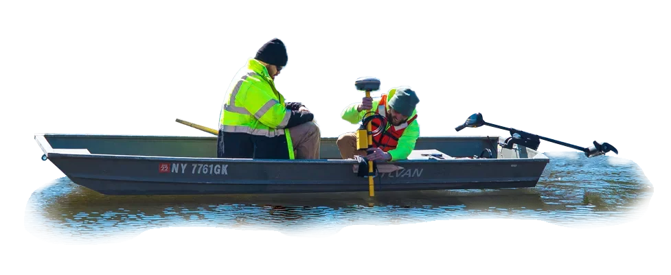
Our capabilities
Hydrographic Services
Hydrographic surveys are completed for channels, rivers, reservoirs, lakes, and ocean bays to create topographic images of underwater surfaces. Hydrographic surveys are performed to…
Explore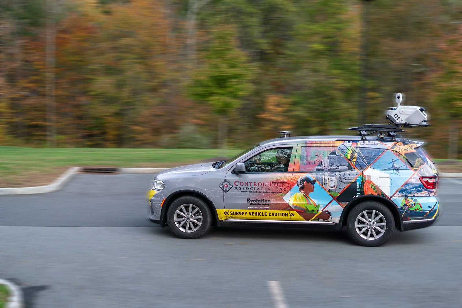
Our capabilities
Mobile LiDAR
We offer a safe, fast, and accurate way to scan streets, bridges and buildings while traveling down the road.
Explore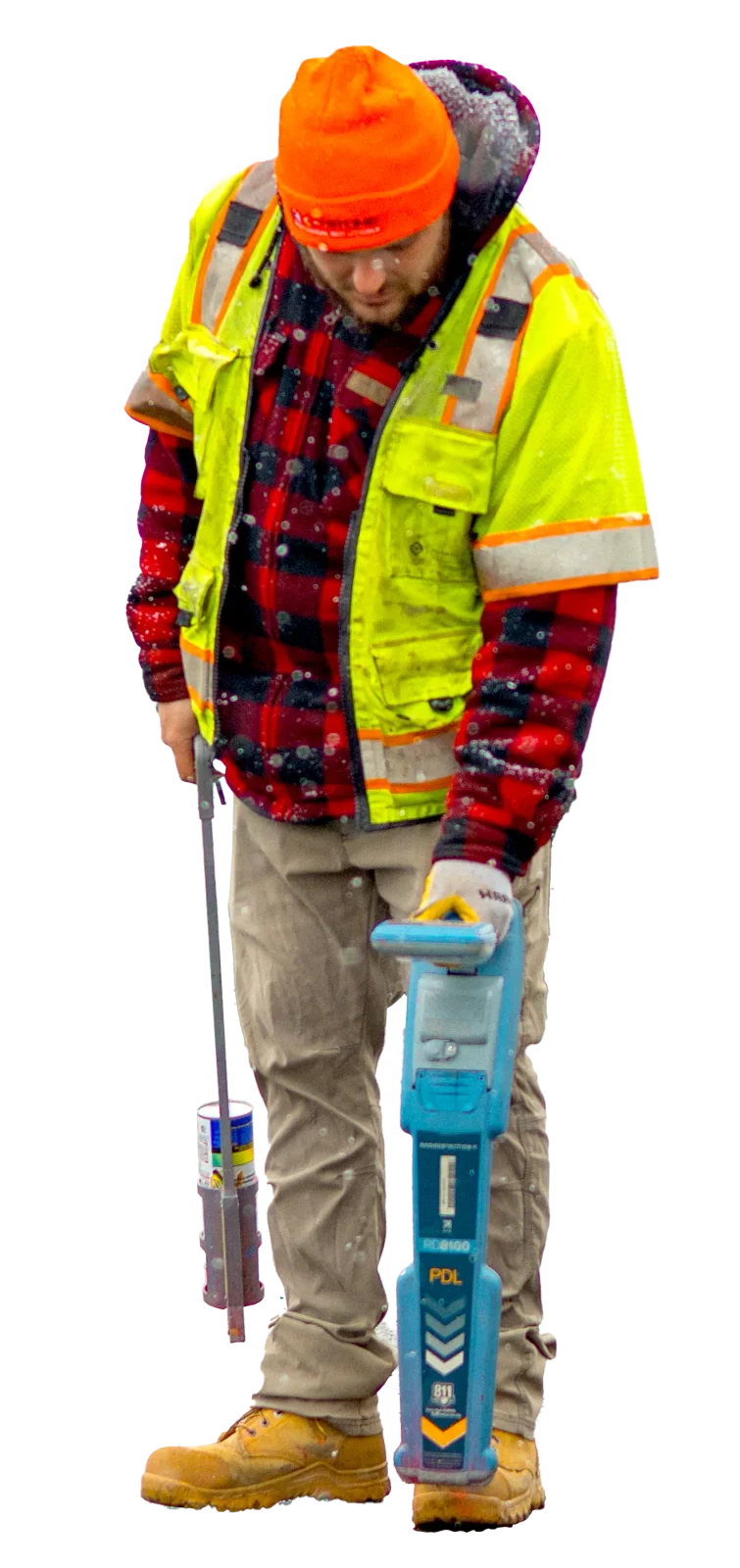
Our capabilities
Subsurface Utility Engineering (S.U.E.)
Identifying and locating existing underground utilities is a critical element to any project. Control Point Associates, Inc.’s S.U.E division technicians are trained extensively with…
Explore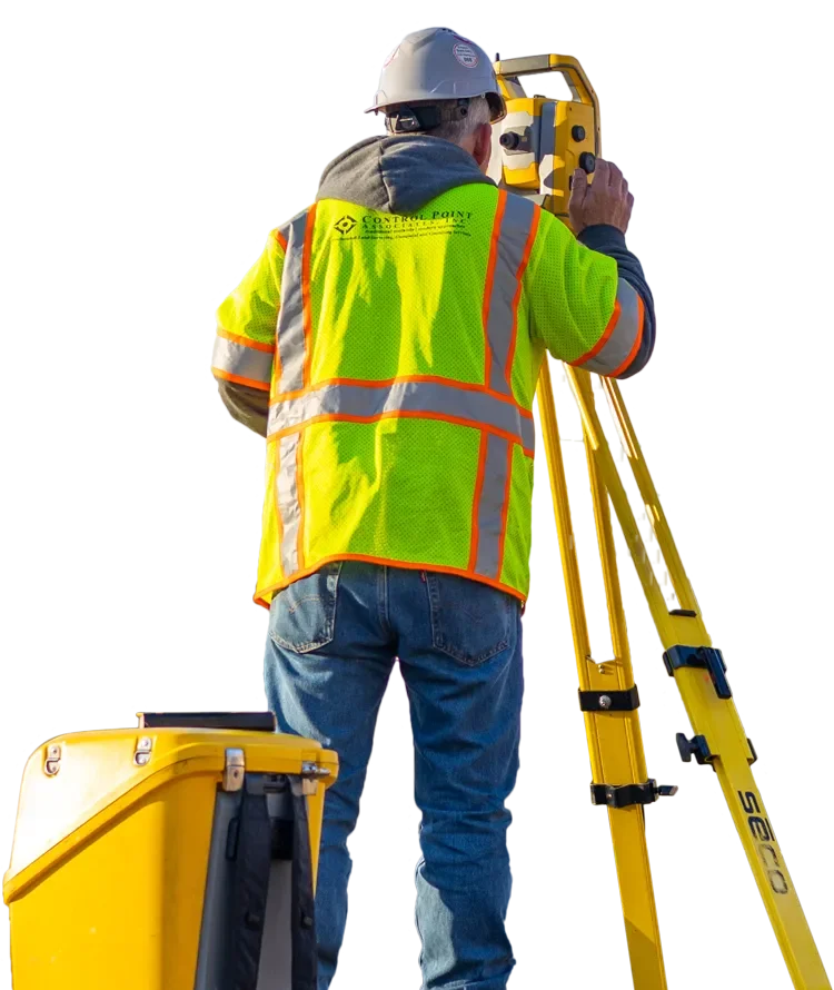
Our capabilities
Traditional Land Survey
Boundary Surveys establish the ownership bounds of a property and are an important part of pre-construction due diligence. Our surveyors, accurately establish the true boundaries of a…
Explore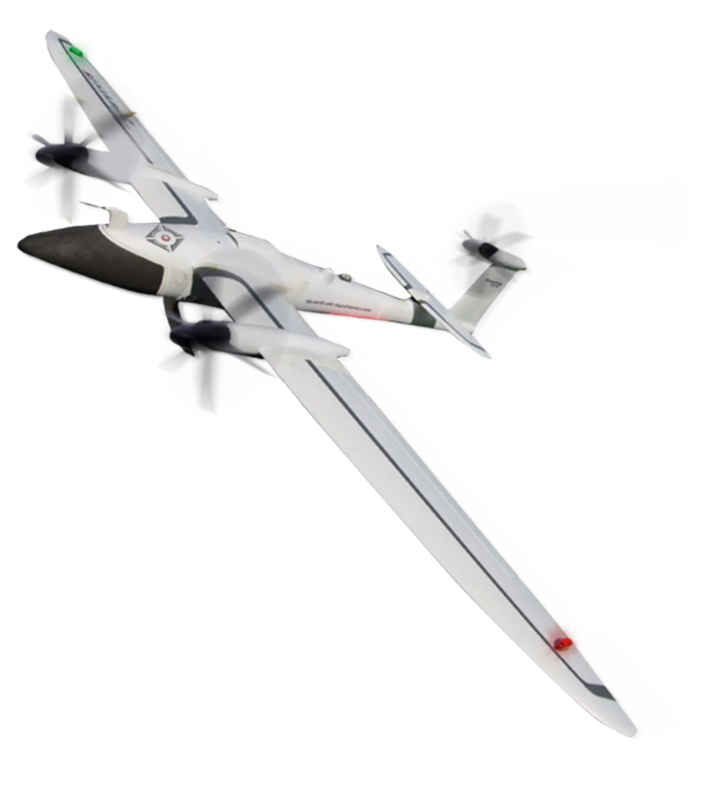
Our capabilities
Unmanned Aerial Vehicle (U.A.V.)
Control Point Associates, Inc. provides the highest quality Unmanned Aerial Vehicle (UAV) imagery for a wide range of applications. Our certified pilots and staff provide solutions…
Explore