
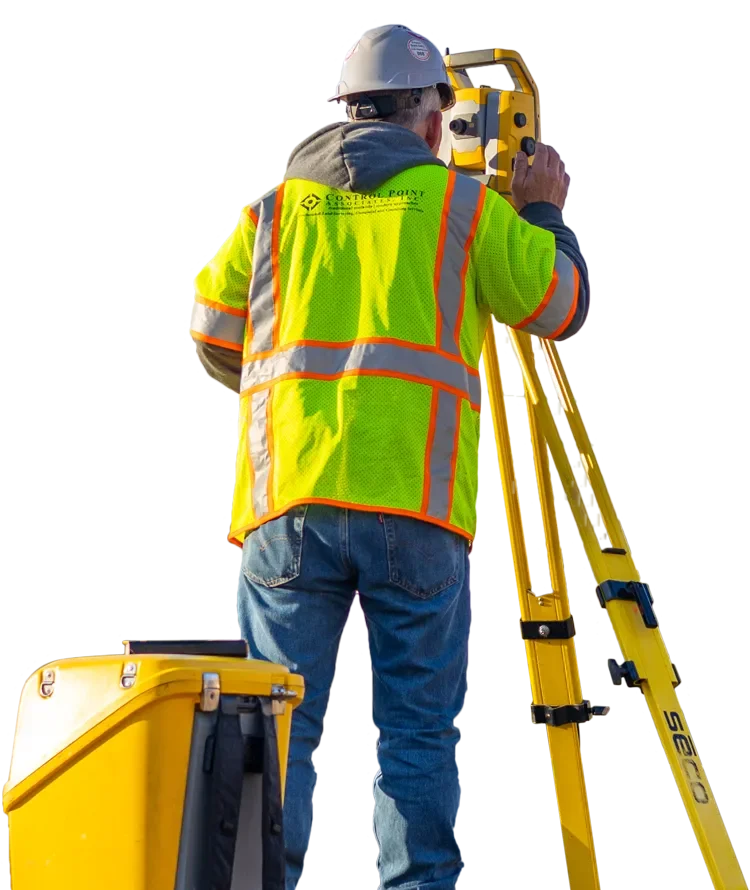
Services provided include:
- Topographic Surveys
- Utility Surveys
- Route Surveys
- Right-of-Way Mapping
- ADA Compliance Surveys
- Subdivision and Lot Consolidation Plans
- FEMA Elevation Certificates
- Wetland Surveys
- Final Surveys
Boundary Surveys
Boundary Surveys establish the ownership bounds of a property and are an important part of pre-construction due diligence. Our surveyors, accurately establish the true boundaries of a property by marking the corners and lines of the lot using iron rods, concrete monuments and other permanent markers set in the ground. These surveys also indicate easements or encroachments and may show imposed state or local limitations. Boundary survey projects can vary widely in scope and complexity, such as a simple retracement of a single parcel to the creation of new parcels through land subdivision.
Topographic Surveys
Topographic surveys determine the location and elevations of natural and man-made features of a property. These may include hills, ravines, streams, trees, fences, buildings, and other improvements to a site. A topographic survey shows the location, size and height of these features, as well as gradual changes or contours in elevation. Also known as contour surveys, they may be required as part of real estate transactions, civil engineering, or construction projects. Combined with a boundary survey, they are utilized by architects and engineers to create accurate and appropriate designs based on the existing conditions of a property.
ALTA/NSPS Land Title Surveys
ALTA/NSPS Land Title surveys are boundary surveys that include easement descriptions, right-of-way, and other physical site conditions. Usually drafted for commercial real estate, these surveys provide comprehensive information required by lenders or title companies to insure a title to a property. Some surveys may include zoning, flood zone designations, and/or areas indicating potential future use of the property.
Continue exploring
Our capabilities
3D Laser Scanning
Most 3D laser scanning projects have a shorter field schedule than traditional methods. The scanning can take a few hours to a few days, depending on the size of the site, compared to…
Explore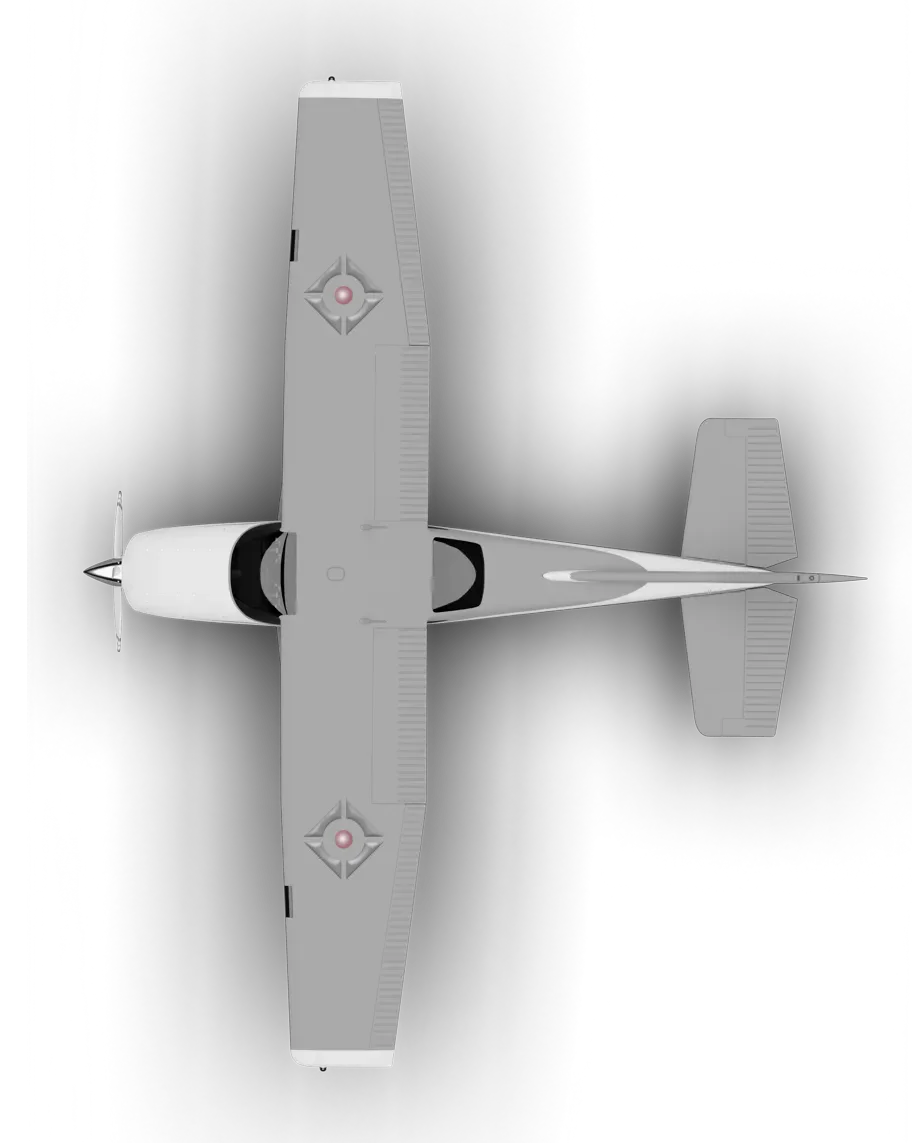
Our capabilities
Aerial Photogrammetry
The use of aerial photography and remote sensing technologies, coupled with ground control, produce topographic maps and orthophotographs detailing current conditions of a given area.…
Explore
Our capabilities
Construction Stakeout
Control Point Associates, Inc. provides building monitoring services for new construction and major renovation projects. Our survey crews can monitor movement, deformation and erosion…
Explore